Redlining started in the 1930s as a product of The Great Depression. At that time, millions could not afford things such as their mortgages, which caused a massive wave of foreclosures. The federal government created the Home Owners Loan Corporation (HOLC) to reduce the number of foreclosures and keep people in their homes. The government designed the HOLC to help people with their payments by refinancing their mortgages and giving them better terms like lower interest rates.
To determine property allocations, the Home Owners’ Loan Corporation (HOLC) sent surveyors to various cities and neighborhoods across the United States. These surveyors documented factors such as population growth, racial demographics, construction trends, demand, and housing prices, and they also provided a brief description of the area and its history.
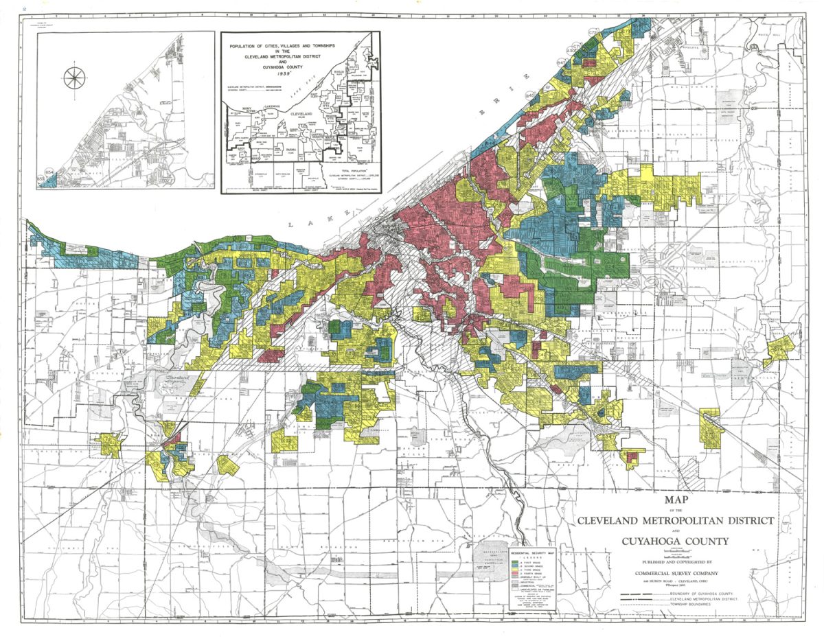
Using this data, the HOLC created color-coded “residential security maps.” There were four classifications on these maps, with green areas being “best,” blue being “still desirable,” yellow being “definitely declining,” and red being “hazardous.” Banks, the government, and other government/bank-affiliated groups used these classifications to determine who got mortgages and loans.
But what is the difference between a blue, desirable area and a red, hazardous area? Looking at an interactive map for Cleveland, the blue areas almost all consist of well-developed, higher-class neighborhoods concentrated with well-maintained single-family homes and nearly no foreign presence and no “negro” presence at all, green areas tended to be similar to the blue, albeit with cheaper housing and a small foreign population, yellow areas are more lower-middle class than the green areas, with a large and diverse working population.Yellow areas have more 2-family homes compared to the others, stated to be in generally worse condition. Yellow neighborhoods also have a larger but still small foreign population and a tiny negro population hovering around 1%.
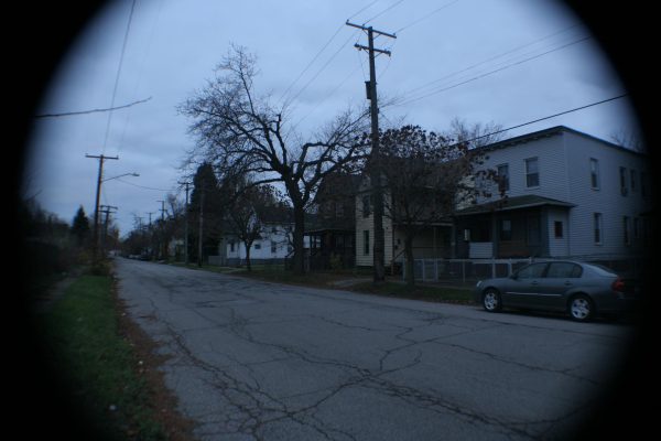
Red areas are typically lower class, with cheaper single-family housing and a fair amount of multiple-family housing.Within these areas resided the most prominent foreign and negro populations. Most residents of these neighborhoods worked in places like steel mills or factories.
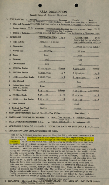
The descriptions of these areas would often state things like “detrimental change of ownership occupancy from white to colored”and held people of a lower economic status and race other than white in lower regard. Today, many people and institutions call this practice of classifying and depriving neighborhoods of resources based on race and financial state redlining.
The practice of redlining is illegal as of 1968, but in 2024, its influence still manifests in our neighborhoods.
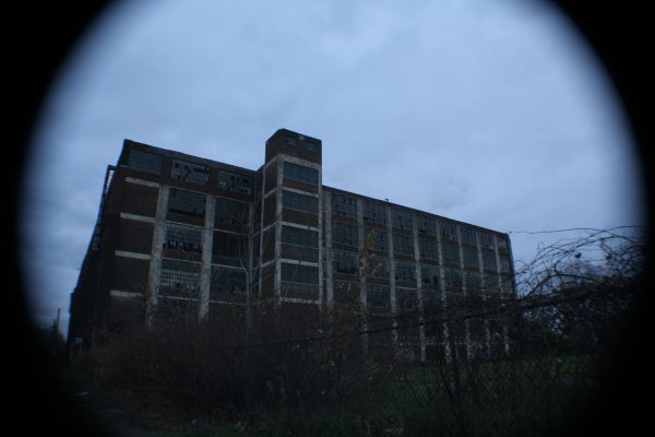
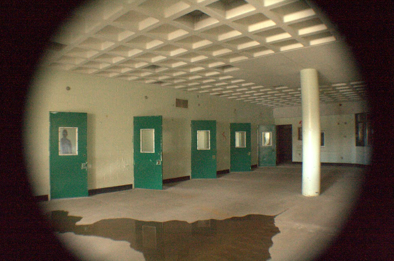
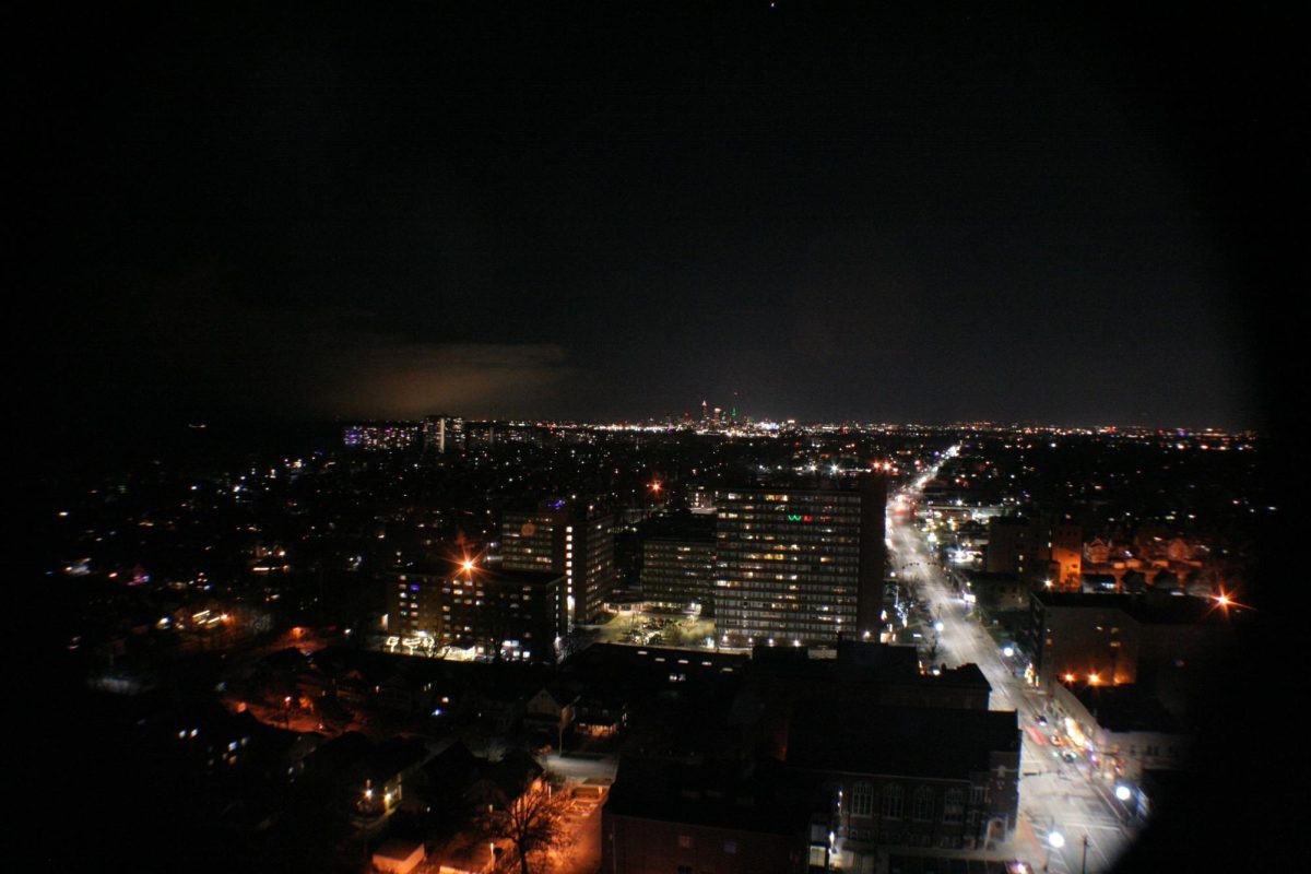
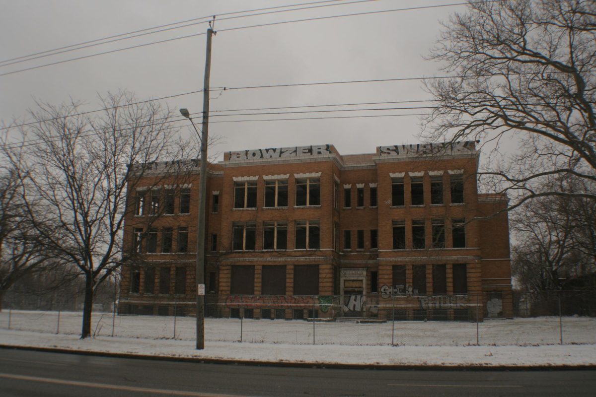
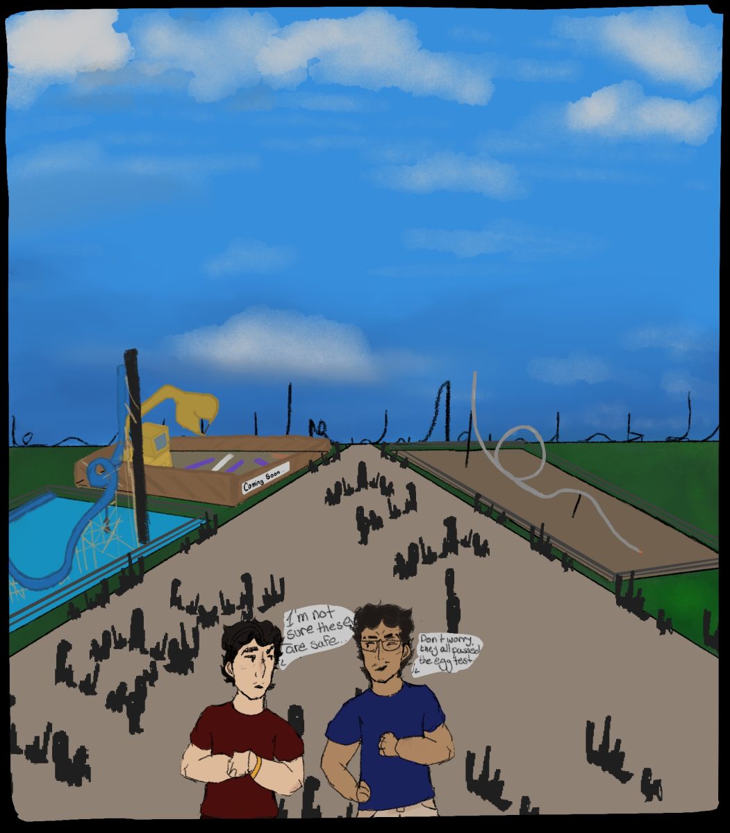
Many neighborhoods classified as declining or hazardous are in poor condition today and bolster run-down housing, crime, abandoned buildings, health problems, poverty, and much more. The practice of redlining also kept minority race groups separated and stuck in worse neighborhoods by depriving them of economic support. On the other hand, most blue and green designated neighborhoods are thriving, with lots of city funding and things like smooth roads, nice houses, and a heavier police presence.

